The Blood of Dawnwalker Interactive Map
Pan and zoom the full map of Vale Sangora with 859 markers read from the game files: 118 fast-travel shrines, quest starts and objectives, merchants, camps and lairs across 10 regions. Toggle layers, filter by region, search by name, and click a marker for its nearest shrine and links.
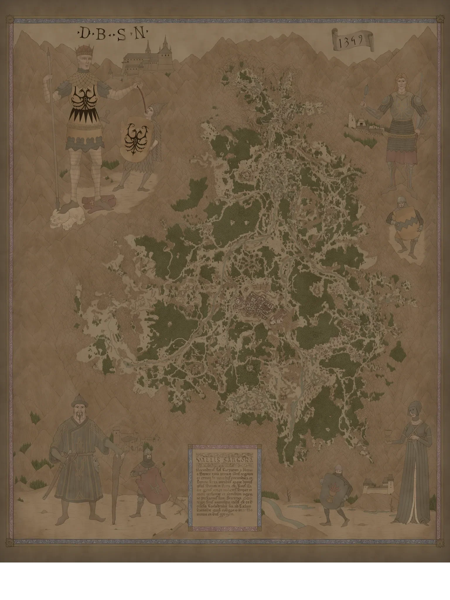
How to use the Vale Sangora map
- Layers: tick any of the 28 marker types in the sidebar, or use a quick filter to jump straight to fast-travel shrines, quest starts, quest objectives, merchants, or camps and lairs.
- Region: pick one of the 10 regions to frame the map on it and count only what stands there. Every region card below has a Show on map link that does the same.
- Search: type a quest, village, district or merchant name. Results come from every layer, including the ones switched off, and respect the region you have chosen.
- Marker panel: click a pin to see its region, the nearest fast-travel shrine with the distance to it, links to the quest, location or vendor page, and a button that copies a link straight to that pin.
Regions of Vale Sangora - 10 mapped
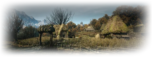
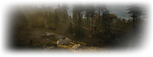
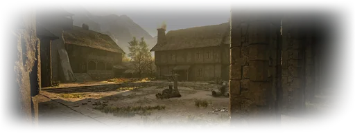
The valley is divided into Boar's Back, Briar Sloughs, Greifberg Castle, Laslea Glen, Maragir Wealds, Rockfalls, St. Tyna's Grove, Svartrau City, Tantari Woods, The Silts. Each card below counts what the map holds in that region and names its main quests and shops; the region page lists its districts, villages and the level range of what roams there.
Svartrau City
167 markersLevels 17–25
- Shrines
- 17
- Quest starts
- 30
- Objectives
- 55
- Merchants
- 13
- Camps & lairs
- 10
Quests: A Monk and a Saint, What Hunts the Night, What Moves the Dead, Where Loyalty Lies
Merchants: Mevasser, Mevasser, Vicho, Alchemist Vendor
The Silts
139 markersLevels 29–37
- Shrines
- 23
- Quest starts
- 22
- Objectives
- 55
- Merchants
- 1
- Camps & lairs
- 17
Quests: Our Rotten Roots, Who Pulls the Strings, The Lunar Game, Home Sweet Home
Merchants: Captive Vendor, Captive Vendor
Tantari Woods
110 markersLevels 31–39
- Shrines
- 11
- Quest starts
- 18
- Objectives
- 41
- Merchants
- 7
- Camps & lairs
- 18
Quests: Fall Before Dusk, Rise at Dawn, Distant Shadows, A Deal with the Devil
Merchants: Svartrau Armorer 1, Svartrau Armorer 1, Svartrau Armorer 2, Svartrau Armorer 2
Briar Sloughs
86 markersLevels 8–16
- Shrines
- 15
- Quest starts
- 14
- Objectives
- 34
- Merchants
- 2
- Camps & lairs
- 8
Quests: The Firebrand, Shadows in the Woods, Under Watchful Eyes, Taking Back What's Mine
Merchants: Vera, Vera, Swamp Medic
Maragir Wealds
84 markersLevels 10–18
- Shrines
- 11
- Quest starts
- 13
- Objectives
- 31
- Merchants
- 6
- Camps & lairs
- 8
Quests: Buried Past, The Gilded Gauntlet, A Pilgrimage for Power, Ambrus's Cellars
Merchants: Butcher Vendor, Maragir Armorer, Maragir Armorer, Maragir Food Vendor
Rockfalls
79 markersLevels 24–32
- Shrines
- 14
- Quest starts
- 8
- Objectives
- 23
- Merchants
- 7
- Camps & lairs
- 11
Quests: Song of the Mountain, Hive and Seek, Bakir's Workshops, The Highland Grave
Merchants: Bakr-Erga, Bakr-Erga, Svartrau Blacksmith 1, Svartrau Blacksmith 1
St. Tyna's Grove
59 markersLevels 15–23
- Shrines
- 10
- Quest starts
- 7
- Objectives
- 25
- Merchants
- 1
- Camps & lairs
- 7
Quests: Echoes of Silenced Bells, Between the Words, Most Precious Thing, Stronger Than Achilles
Laslea Glen
55 markersLevels 1–3
- Shrines
- 8
- Quest starts
- 9
- Objectives
- 22
- Merchants
- 3
- Camps & lairs
- 2
Quests: Withering Away, Smoke and Ashes, All Good Things, Bad Blood
Boar's Back
48 markersLevels 22–30
- Shrines
- 9
- Quest starts
- 10
- Objectives
- 12
- Merchants
- 1
- Camps & lairs
- 5
Quests: A Friend Like This, A Pilgrimage for Power: Dark-Thing, Ancient Circle: East of Parlita, Ancient Circle: The Wallows
Merchants: Parlita Blacksmith, Parlita Blacksmith
Greifberg Castle
32 markersLevels 36–50
- Shrines
- 0
- Quest starts
- 0
- Objectives
- 29
- Merchants
- 1
- Camps & lairs
- 0
Quests: A Lone Wolf's Hunt, Midnight Reckoning






Quests with the most mapped objectives
The Quest objectives layer draws 327 exact pins for 135 quests: every step the game marks with a precise spot rather than a search area. These are the longest routes on the map; each quest page shows its own steps in order.
- A Lone Wolf's HuntMain questGreifberg Castle15 pins
- Fall Before DuskMain questTantari Woods14 pins
- Midnight ReckoningMain questGreifberg Castle14 pins
- The Lunar GameSide questThe Silts12 pins
- Distant ShadowsSide questTantari Woods11 pins
- Echoes of Silenced BellsMain questSt. Tyna's Grove10 pins
- Home Sweet HomeSide questThe Silts10 pins
- The Bittersweet ToastSide questBriar Sloughs10 pins
Map legend - 28 marker types
The 859 markers are grouped into 28 layers. Pick one to open the map with only that layer switched on.
- Quest objectives327 markers
Where a quest actually takes you, not just where it starts. Only steps the game pins to an exact spot appear here.
- Shrine118 markers
Allows you to spend Skill Points, fast-forward time or travel to any other previously discovered fast travel point.
- Activity112 markers
- Merchants39 markers
Shops and traders whose position is known — general stores, blacksmiths, armourers, medics, alchemists and taverns.
- Monster's Lair32 markers
A deadly beast lives here.
- Soldier Picket26 markers
- Destroyed Shrine20 markers
A shrine you can restore to fast travel, spend Skill Points, and fast-forward time.
- Manual sellers19 markers
Shops with a known position whose stock holds at least one Swordmastery, Witchcraft or Focus manual.
- Building(s)18 markers
- Side Quest17 markers
- Bandit Camp15 markers
The hideout of dangerous outlaws.
- Person in Danger14 markers
- Ancient Circle13 markers
Remnants of an ancient place of power and warriors's trials.
- Soldier Camp13 markers
A place full of knyaz's soldiers.
- Tower11 markers
A good place to scout the area and add new places of interest to the map.
- Settlement11 markers
- Region10 markers
- District6 markers
- Will-o-the-Wisps6 markers
- Curious House6 markers
- Brencis's Banner5 markers
The knyaz's banner, waiting to be torn down.
- Gate5 markers
One of Svartrau's gates.
- Pillory5 markers
- Haunted Site4 markers
Restless spirits have been rumoured to appear in this area.
- Point of Interest2 markers
- General Store2 markers
You can buy or sell various items here.
- Main Quest2 markers
- Medic1 markers
You can buy various healing items here.


The interactive map plots 859 markers from The Blood of Dawnwalker in 28 layers, the largest being Quest objectives, Shrine, Activity, Merchants, Monster's Lair. 118 fast-travel shrines connect 10 regions: Boar's Back, Briar Sloughs, Greifberg Castle, Laslea Glen, Maragir Wealds, Rockfalls, St. Tyna's Grove, Svartrau City, Tantari Woods, The Silts. Every position comes straight from the game data rather than from player reports, and the region, district and village labels are the ones the in-game map uses. Svartrau City holds the most markers (167) and Tantari Woods the most camps and lairs (18).
Your Dawnwalker Guide, In-Game
The map, the quests, the skills and the 30-day clock in an overlay — look anything up without alt-tabbing out of Vale Sangora. Free on your PC.
- In-game overlays
- Automatic match tracking
- Desktop-exclusive tools
Help us maintain accuracy! If you notice incorrect stats, missing data, or any issues, your feedback directly improves the quality of our data for the entire community.
Map FAQ
What does the Dawnwalker map show?
It plots 859 markers in 28 layers: fast-travel shrines, main and side quest starts, merchants of every kind, bandit and military camps, monster nests, haunted places, shrines, towers and landmarks, plus the region, district and village names.
Where are the fast-travel points?
The map holds 118 fast-travel shrines. They are switched on by default; use the Fast travel layer in the legend to show only those, or search a shrine by its village name.
How many regions does Vale Sangora have?
10: Boar's Back, Briar Sloughs, Greifberg Castle, Laslea Glen, Maragir Wealds, Rockfalls, St. Tyna's Grove, Svartrau City, Tantari Woods, The Silts. Each region page lists its districts and villages, and the map shows their names as labels.
Which region of Vale Sangora has the most on the map?
Svartrau City, with 167 of the 859 markers: 17 fast-travel shrines, 30 quest starts and 55 quest objectives. Choose it in the region selector, or from its card, to see only that region.
Can I filter the map by region?
Yes. Pick a region in the sidebar to frame the map on it and count only its markers, or follow a Show on map link from one of the region cards. The layer counts and the search results narrow to that region too.
Where are the monster lairs and bandit camps?
The map marks 86 hostile places: 32 monster lairs, 15 bandit camps, 26 soldier pickets and 13 soldier camps. Tantari Woods holds the most of them, with 18. The Camps & lairs quick filter shows only those.
Where are the merchants on the map?
The Merchants layer places 39 shops, each linked to its vendor page and stock. Every region card names the shops in that region, and the merchant map page lists them all by region and trade.
How do I share a marker?
Click the marker, then Copy link to this marker. The link opens the map centred on that pin with its layer switched on — the same kind of link the item, quest and location pages use to point at the map.
What are the coordinates shown for a marker?
World X and Y are the raw engine coordinates of the marker, in game units. They match the positions stored in the game files exactly, which is how the pins are placed on the map.